UN
88 Promenade
£ 157,500
Description
We don't have a Description for this property.
- Bedrooms
- 8
- Bathrooms
- 0

Leaflet © OpenStreetMap contributors
The heatmap indicates the level of crime in the area. The color of the heatmap indicates the crime severity and recency.
Metrics Year-on-Year
- Average area value
- 309,176.00 £Increased by 24.54 %
- Average area rental value
- 879.00 £/moIncreased by 13.42 %
- Est rental Yield
- 3.41 %Decreased by 9.07 %
- Crime Rate
- 9.00 %Unchanged by 0.00 %
from 248,246.00 £
from 775.00 £/mo
from 3.75 %
from 9.00 %
Nearby Schools
| Name | Type | Ofsted | Distance |
|---|---|---|---|
| Holy Trinity Church Of England Primary School, Southport | Academy Converter | 1.01 KM | |
| Southport College | Further Education | Good | 1.18 KM |
| Parenting 2000 Children'S Centre | Children's Centre Linked Site | 1.25 KM | |
| Arden College | Special Post 16 Institution | Good | 1.30 KM |
| St Philip'S Church Of England Primary School | Voluntary Aided School | Good | 1.95 KM |
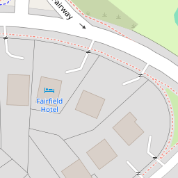
Images
Nearby Streets
| Name | Average Price | Average Sqft | Distance |
|---|---|---|---|
| Leicester Street | £ 330,000 | 0 | 0.00 KM |
| Avondale Road | £ 237,500 | 0 | 0.00 KM |
| Back Bath Street | £ 0 | 0 | 0.00 KM |
| Albert Place | £ 0 | 0 | 0.00 KM |
| Manchester Road | £ 177,000 | 0 | 0.00 KM |
Nearby Transport
| Name | NLC | TLC | Distance |
|---|---|---|---|
| Southport | 2262 | SOP | 1.47 KM |
| Meols Cop | 2357 | MEC | 2.79 KM |
| Birkdale | 2352 | BDL | 3.33 KM |
| Hillside | 2231 | HIL | 5.06 KM |
| Ainsdale | 2350 | ANS | 8.04 KM |
Nearby Listings
| Address | Price | Type | Score | Distance |
|---|---|---|---|---|
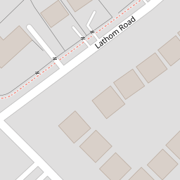
| Lathom Road, Southport, PR9 0JP | £ 83,000 | BUY | 6 / 10 | 0.05 KM |
| The Promenade, Southport, Merseyside, PR9 0JW | £ 119,500 | BUY | 5 / 10 | 0.07 KM |
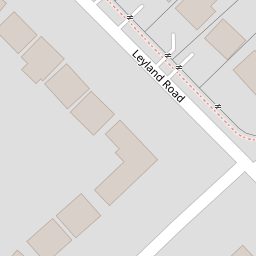
| Leyland Road, Southport, Merseyside, PR9 | £ 80,000 | BUY | 5 / 10 | 0.09 KM |
| Leyland Road, Southport, Southport, PR9 | £ 139,950 | BUY | 6 / 10 | 0.09 KM |
| Lathom Road, Southport, PR9 | £ 490,000 | BUY | 6 / 10 | 0.11 KM |
Nearby Properties
| Address | Price | Distance |
|---|---|---|
| 89 Promenade | £ 420,000 | 0.00 KM |
| 81 Promenade | £ 135,000 | 0.00 KM |
| 80 Promenade | £ 108,500 | 0.00 KM |
| 88 Promenade | £ 157,500 | 0.00 KM |
| 30 Lathom Road | £ 350,000 | 0.05 KM |